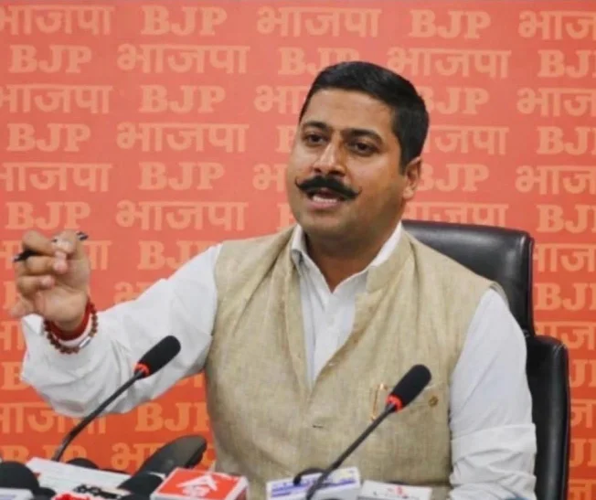
JAMMU: BJP spokesperson and Convenor, International Affairs Gaurav Gupta has hit out at attempts to create confusion over India’s vote on the United Nations General Assembly resolution on “Correct the Map: Rebalancing Global Cartographic Representation and Promoting Equitable Representation of the World’s Regions, Particularly Africa.”
Gupta said India’s vote was categorically in favour of the principle of equal-area mapping and must not be twisted into an endorsement of any particular world map, territorial claim or political depiction of India’s borders.
“India voted for cartographic accuracy, not for somebody else’s political interpretation of our borders. Let there be absolutely no confusion — voting for an equal-area map does not mean accepting a particular map or endorsing anybody’s territorial claims,” Gupta said.
The UN General Assembly adopted the resolution with 164 countries voting in favour, one against and six abstaining. The resolution primarily promotes map projections that represent the relative size of continents and land masses more accurately, addressing distortions associated with conventional projections such as the Mercator projection.
Gupta said the controversy being created around India’s vote is deliberate political misrepresentation.
“A resolution about the size and projection of continents cannot decide the sovereignty of nations. A cartographic projection cannot redraw international borders. And nobody should be allowed to misuse a technical discussion about map-making to manufacture a political narrative against India,” he asserted.
He said New Delhi had already made its position crystal clear: India’s sovereign territory, including the Union Territories of Jammu & Kashmir and Ladakh, must be represented according to India’s official maps.
“Our position is crystal clear. India supported equal-area cartography because maps should represent geographical realities more accurately. But that vote was never, and can never be, a certificate for someone else’s version of India’s borders,” Gupta said.
Taking a sharp dig at Pakistan, which has called India’s assertions “baseless”, Gupta said Islamabad was trying to turn a cartographic issue into another opportunity to push its old Kashmir narrative.
“Pakistan should stop searching for political victories in technical resolutions. If a UN resolution is about cartographic projection, why is Pakistan trying to use it to reopen its failed narrative on Jammu & Kashmir? The answer is obvious — because it has nothing new to offer except the same old propaganda,” Gupta said.
Gupta stressed that Jammu & Kashmir is an integral part of India and said no interpretation of a world map can alter India’s sovereign position.
“Pakistan may call India’s position baseless, but repeating a claim does not make it a fact. India’s territorial position is clear and unwavering. Jammu & Kashmir and Ladakh are not bargaining chips in somebody else’s diplomatic game,” he said.
He further warned against allowing cartographic ambiguity to become political ambiguity.
“First understand the difference between a map projection and a political boundary. Equal-area maps are about representing the size of land masses accurately. They do not confer sovereignty, settle disputes or certify territorial claims. Anyone deliberately mixing the two is misleading the public,” Gupta said.
On the reported depiction of Arunachal Pradesh and Aksai Chin in the new world map, Gupta said India must remain equally firm.
“If any map creates a misleading impression about Indian territory, India has every right to call it out. Arunachal Pradesh is an integral part of India, and Aksai Chin remains part of India’s territorial claim despite being under Chinese control. No cartographic exercise can manufacture legitimacy for expansionism,” he said.
Gupta said China and Pakistan must understand that India’s territorial sovereignty cannot be negotiated through maps, statements or propaganda campaigns.
“You cannot draw a line on paper and create sovereignty. You cannot erase a boundary and erase history. And you cannot use a UN resolution on cartographic representation as a backdoor mechanism to validate territorial claims,” Gupta said.
He added that India’s position was stronger than ever. “India voted for a better map of the world. India did not vote for a different map of India. That distinction must be understood by everyone — in Pakistan, in China and in every international forum,” Gupta declared.
Concluding his attack, Gupta said “Correct the map, yes. Correct geographical distortion, yes. But do not distort India’s sovereignty. India’s borders are not decided by cartographic fashion, political propaganda or someone else’s imagination. When it comes to Bharat’s territorial integrity, there will be no confusion, no compromise and no surrender.”